Maps of the Tualatin River Watershed
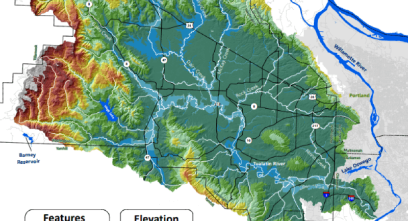
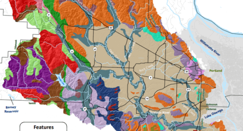
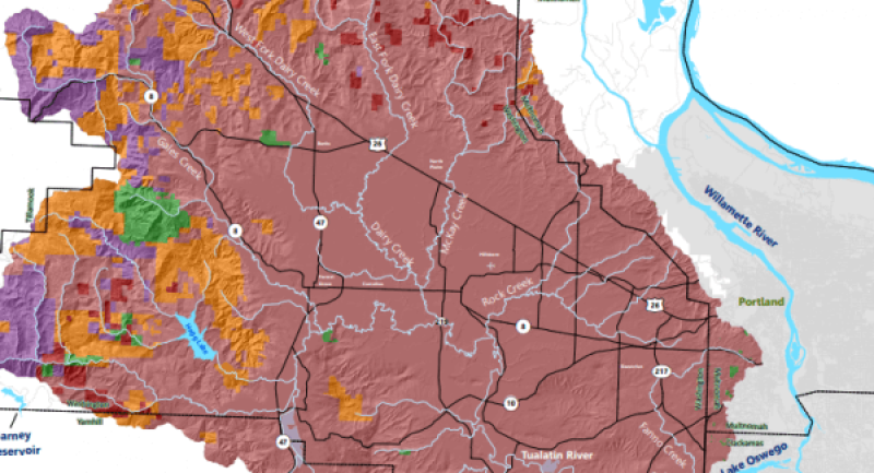
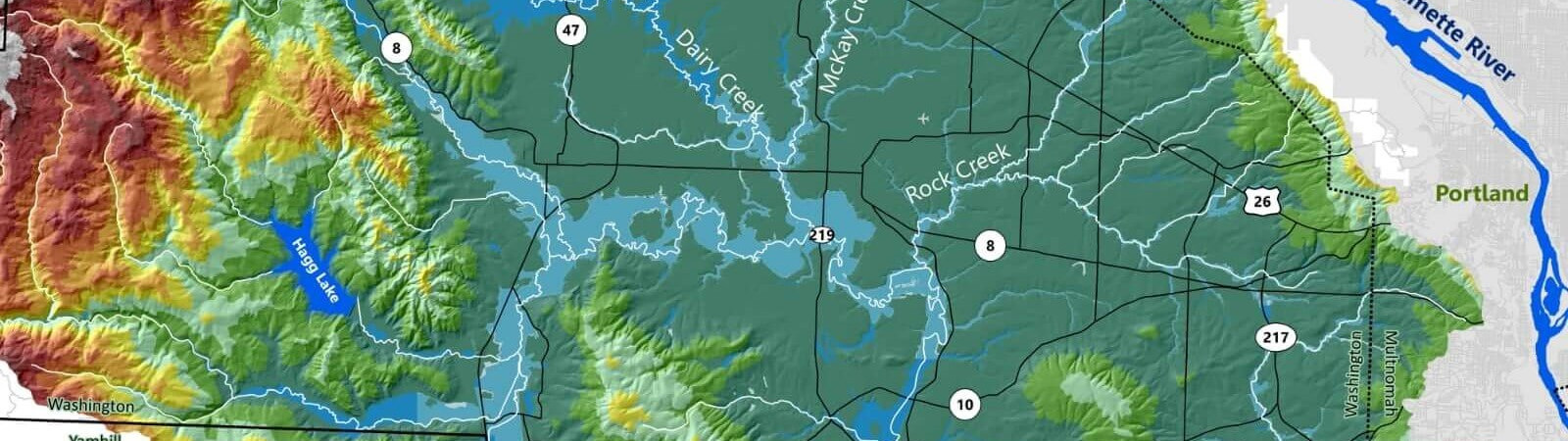
Please feel free to take a look at any of our maps, or other resources. We hope these will help you learn more about the place you call home. We would like to thank Portland Community College’s GIS application class, and especially Matthew Pruett, for taking this project on and assisting us in our mission.
This GIS Storymap shows the history of the Tualatin River, including the progress and existing challenges the watershed still faces.
This presentation was made by one of our Board Members, Val Brenneis, who did a GIS project assessing where Tualatin Riverkeepers should focus on advocating for access to the river. The upper watershed appears to be the best area to focus this effort, as this area has high Latinx and Hispanic populations with fewer access points to the river than in the lower watershed.
This is a general watershed map showing the urban areas and other key features in the watershed.
This map shows the four major ecoregions within the Tualatin watershed.
This map shows the watershed's floodplains, specifically the 100 year flood zones and their relative risk of flooding.
This map indicates the underlying geology of the rock within the Tualatin River watershed boundaries.
This map shows which government bodies manage land in the Tualatin Watershed.
